
Click the Camera icon on main page or click on the data (point line or polygon) then select Data Properties, click the camera icon on the top right to add photos to your data.
There are two categories of photos taken using the UTM Geo Map application: stand-alone geotagged photos and photos associated with point, line, or polygon data.
Geotagging.
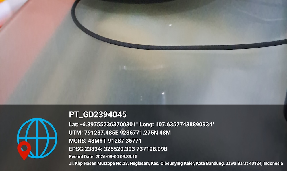
Using the Camera menu, you can take photos complete with coordinate information (latitude, longitude, UTM, MGRS, and EPSG, GPS accuracy, time, and readable address), which will automatically be displayed as a photo watermark. The coordinates will also be saved in the EXIF data.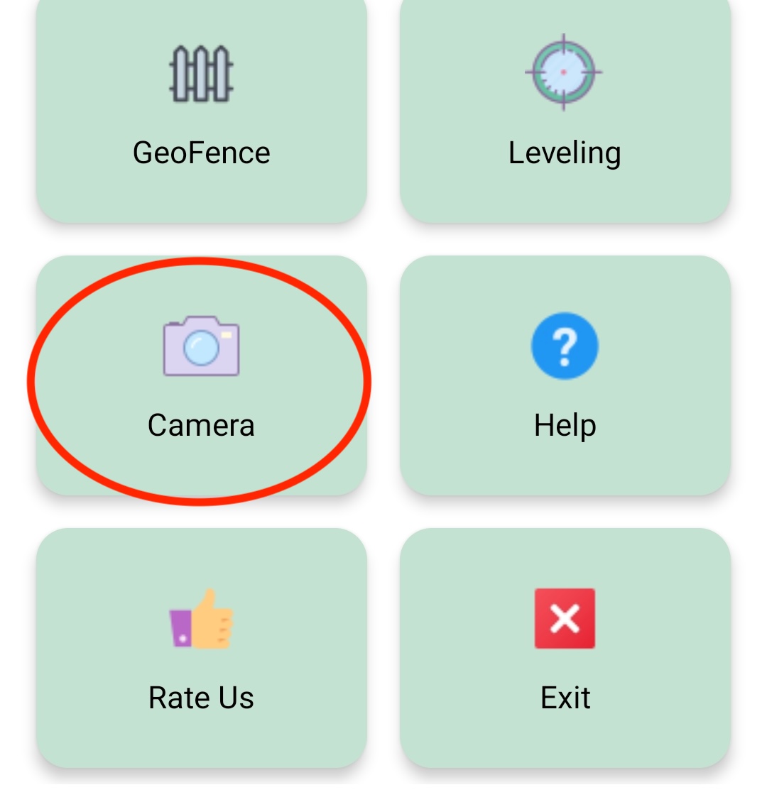
Photos Associated to Data.
UTM Geo Map allows you to add / attach photo from camera or existing image from gallery to your Point, Line or Polygon data. This process can be done manually in the Data List module or in the Data Properties Module.If you add an image from the camera, your photo will be stored inside directory: Internal storage/Pictures/UTMGeoMap/. This photo can also be accessed from the Picture Gallery to make sure it's easy to find when you download it. In addition, we also provide easy-to-recognize file names based on data names.
Watermark
In addition to storing data in photo metadata (EXIF), you can also display geotag data directly on your photos via watermarks. There's a feature to customize the logo on the watermark to suit your needs, such as your school or company logo. You can also remove the watermark if needed.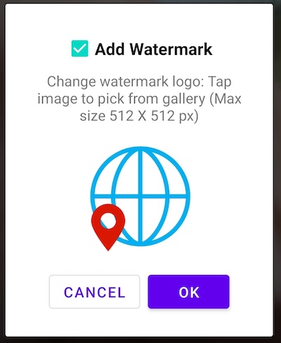
Watermarks are placed in the bottom of the photo. For Point data, watermarks will be contain of point name, latitude/longitude coordinates, UTM, MGRS, selected CRS EPSG coordinates, accuracy, date, address and notes (if available). For Linear data, watermarks will be contain the data name, data type (line/polygon), and area/distance value.
Remove Photo
This tool allows you to remove photos from associated data.
Read Next: Blog & How To