UTM Maps is a simple tool for finding and obtaining Latitude, Longitude, and UTM coordinates using Maps and GPS. Register points and store them in a database complete with readable address data. Export saved data to CSV format or locate points in the field using your device's compass and GPS..
Register Points
UTM Maps allows you to register points and stored in database to display on the map or export to a CSV file. Stored point data will automatically completed with UTM coordinates and readable address (geocoding requires internet access).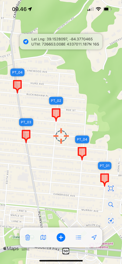
Change Map Style
Switch the map style from standard road map to satellite imagery instantly.
Precision Put In Action
With the help of the precision cursor in the center of the map, you can register points accurately with ease.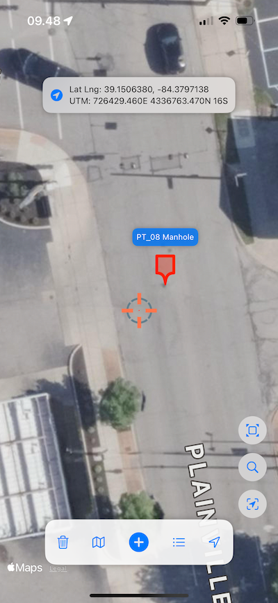
Data Properties / Point Details
Each data displayed on the map has its own properties, making it easier to navigate and understand. Simply click on a point and the data properties will automatically appear.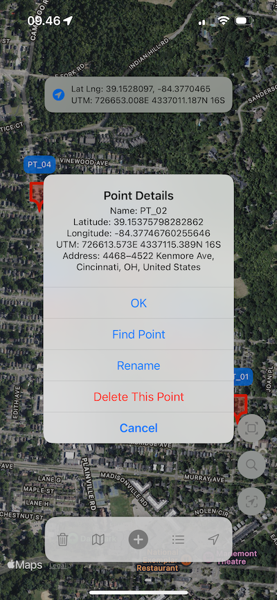
Find Point On The Field / Stake Out
By manipulating the compass direction, now you can find the point you want in the field easily, the application will direct you to the desired coordinate point with the help of the built-in compass on your device.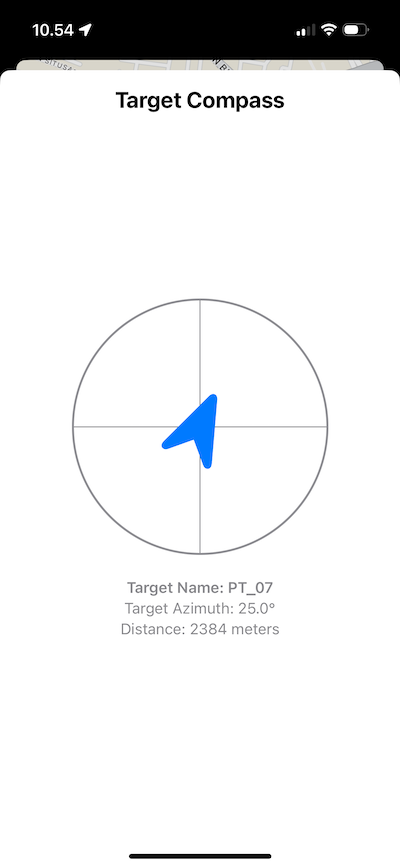
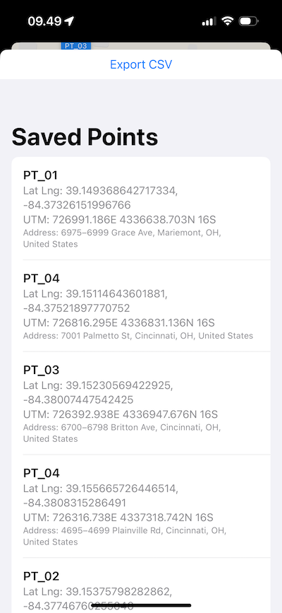
Data List & Export CSV
The data list is designed to view data stored in the database, delete unnecessary data, find the location of data in the field or export data into a CSV file.